testtest

11 Must-Have Survival Skills

To many people rely on GPS on their phone or a dedicated unit.

The GPS network and cell coverage may go down, and/or be manipulated.

Learn/relearn how to use a compass & a map.

Get hard-copy maps for your area (USGS), and areas you may be traveling through on a regular basis (good-old state highway maps and/or US Forest Service/Bureau of Land Mgt area maps).
 
Last edited:
To many people rely on GPS on their phone or a dedicated unit.

The GPS network and cell coverage may go down, and/or be manipulated.

Learn/relearn how to use a compass & a map.

Get hard-copy maps for your area (USGS), and areas you may be traveling through on a regular basis (good-old state highway maps and/or US Forest Service/Bureau of Land Mgt area maps).
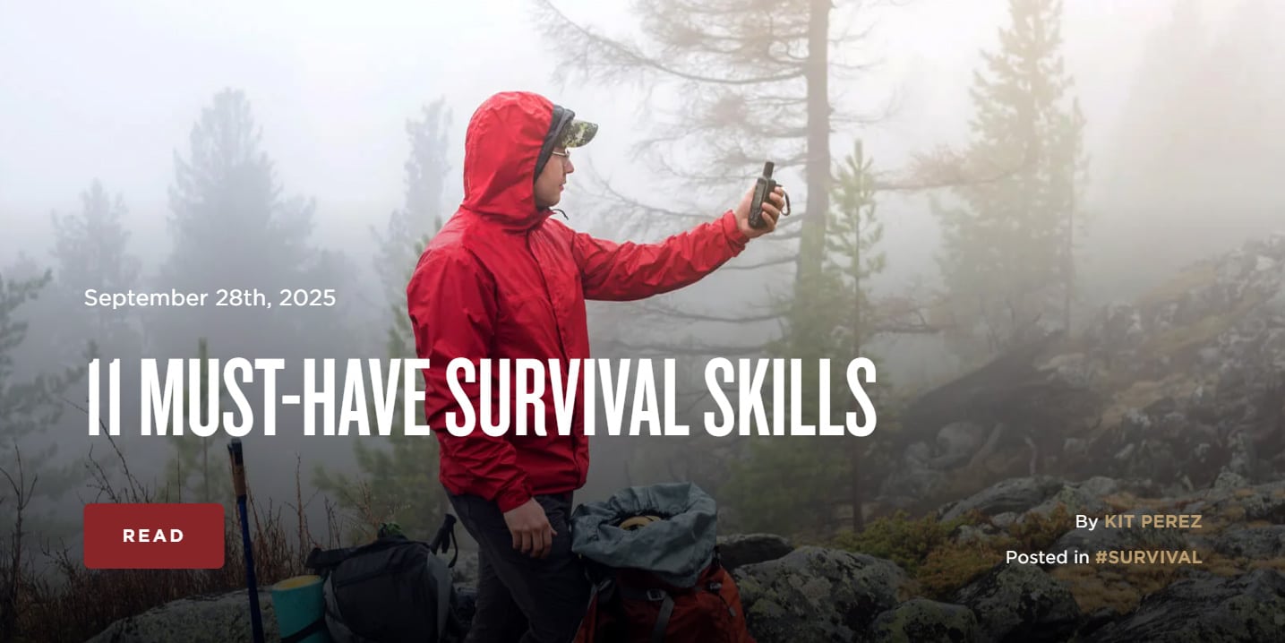
Those are nice to have but I don't really need a compass and while a watch helps, I could just use some sticks and a few pebbles. Besides, in the Ozarks it's hard to get lost in the woods. Just keep walking, you're bound to find a still, then just follow the trail or stay put and the owner will find you.

GPS can fail; the sun, moon and stars have been working for millions of years.
 
To many people rely on GPS on their phone or a dedicated unit.

The GPS network and cell coverage may go down, and/or be manipulated.

Learn/relearn how to use a compass & a map.

Get hard-copy maps for your area (USGS), and areas you may be traveling through on a regular basis (good-old state highway maps and/or US Forest Service/Bureau of Land Mgt area maps).
This is the best short video I've ever seen on how to use a map and compass. I don't know why this lady only did like two videos but I'm kind of disappointed because she seems like she knows her stuff, and she's kind of cute too.


I would highly recommend this book to anyone who is interested in Land Nav.
20250928_130537.jpg

I have to go do things I will finish this post later
 
These are the contents pages
20250928_130603.jpg

It will take you through everything you need to about Map Readin, Land Nav and Route Finding.

20250928_130614.jpg


Screenshot_20230620_114949_YouTube.jpg

This is strictly my opinion but you also need to get out here and do some land navigation off the trail.
 
To many people rely on GPS on their phone or a dedicated unit.

The GPS network and cell coverage may go down, and/or be manipulated.

Learn/relearn how to use a compass & a map.

Get hard-copy maps for your area (USGS), and areas you may be traveling through on a regular basis (good-old state highway maps and/or US Forest Service/Bureau of Land Mgt area maps).
The first skills we were taught in the Canadian military, compass and map reading. Then comes fire and shelter building.
 
In my experiences, the area(s) you need a compass is on flat (relative) ground with thick vegetation.

I was stationed in NE MN, and spent some time up in the Boundary Waters area on both sides of the International Border. I could not get my bearings without a compass & a map so I could tell where I was based on the lake shapes/characteristics and which direction I was going. The only time I got a high-view of the landscape is when I was able to get up on to a iron mine tailings hill.

In the West where there is topography, you can get up high, and you know your country you can recognize landmarks and navigate easier without a compass but a topo map is still essential to read the landscape.

My .02
 
The map I used to teach map reading with, is where I live now.
The only place in the US that has every map symbol on it.

As far as the grey man concept. Do not blend in, do not be seen.
Even Cody Lundin said once you escaped people, you can be safe.
One reason our parents took us out here to the west.
It is easy to survive, if you know how.
 
The map I used to teach map reading with, is where I live now.
The only place in the US that has every map symbol on it.
That would be interesting, only one map has all USGS symbols used? Where might that be? (I suspect it's a 1:24,000 Topo).

One of my duties back in the day was as the NCOIC 517th Terrain Intelligence Detachment, attached to the 656th (649th) Engr. Bn. (Topo), we made the maps. USGS uses over 250 symbols, military mapping may have unique symbols generated for points of military interest, you might say it could be unlimited, from types of units, size, types of structures, lines of communication, capacity ratings of infrastructure and other tid bits.

Later, I was commissioned, and I had fun running through the officer basic navigation course. I was the first to max the course in under an hour with three hours set aside to run the course. (Well, I should have, it wasn't really fair ya know). Top it off, I spotted the distance and azimuth that led to several coffee can lids with numbers on them, 5 or 6 options within a 20 yard area nailed on trees.

No, I didn't count paces holding a compass, you spot the direction and distance and walk to it, then check it shooting a back azimuth at your starting point.

You guys that do long distance shooting can most likely judge 100, 200, 300, 500 meters pretty well, then divide that for fractional distances. But that's not how land nav is usually taught!
 
I
To many people rely on GPS on their phone or a dedicated unit.

The GPS network and cell coverage may go down, and/or be manipulated.

Learn/relearn how to use a compass & a map.

Get hard-copy maps for your area (USGS), and areas you may be traveling through on a regular basis (good-old state highway maps and/or US Forest Service/Bureau of Land Mgt area maps).
Inertial navigation unit. I want one in a bad way.
 
When we did Land Nav in PLDC I did the course in about an hour or so.

I decided to shoot back azimuths all the way back to the start point to double check myself. That took another hour.

The Proctor told me I barely made the time and wanted to know what took me so long.

I tried to explain but he didn't seem to understand the concept.

I told him it was an Artillery thing and moved out.
 
Here are more than 11 tips, tricks, skills and tools for cold weather survival. I might have added a reflector on the back side of the fire, and not let it burn the entire length away from me, toss the far end back on the middle closer.


Coldest I've ever been was 3 days out in January at Ft. Drum!

-52 degrees! Cold weather survival training. Snow cave, skiing, weapons but had a good bag with liner. My mustache got wet and the hair broke off, just fell off. Got a bit of frost bite on a couple toes, not serious but they always get numb when they get cold.

Any polar club guys here?
 
Back
Top